Geolocate

Port Isabel topographic map

Click on the map to display elevation.

About this map

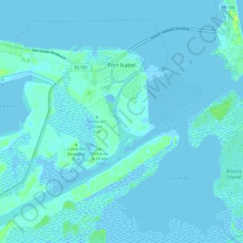
Name: Port Isabel topographic map, elevation, terrain.

Location: Port Isabel, Cameron County, Texas, 78578, United States (26.01561 -97.28843 26.08996 -97.18995)

Average elevation: 2 m

Minimum elevation: -3 m

Maximum elevation: 15 m

Other topographic maps

Click on a map to view its topography, its elevation and its terrain.

Laguna Heights

United States > Texas > Cameron County

Average elevation: 2 m

South Point

United States > Texas > Cameron County

Average elevation: 7 m

Arroyo City

United States > Texas > Cameron County

Average elevation: 5 m

Olmito

United States > Texas > Cameron County

Average elevation: 11 m

Palmer Colonia

United States > Texas > Cameron County

Average elevation: 15 m

Lopez Colonia

United States > Texas > Cameron County > Rio Hondo

Average elevation: 10 m

Lozano

United States > Texas > Cameron County

Average elevation: 10 m

Loma Plata

United States > Texas > Cameron County

Average elevation: 0 m

Harlingen

United States > Texas > Cameron County > Harlingen

Average elevation: 14 m

Gear up for your next adventure:

📍Handheld GPS - GPS devices for hiking and navigation
🪫Rechargeable Headlamps - USB rechargeable headlamps
🦘Outback Survival Gear - Essential gear for Australian outback
💧Personal Water Filters - Drink safely from streams and lakes identified on your map
🧊Insulated Cooler Bags - Keep food fresh for day trips to remote geographic sites

As an Amazon Associate, this site earns from qualifying purchases at no extra cost to you.