Geolocate

San Jose topographic map

Click on the map to display elevation.

👉 Easily get elevation data in JSON, GeoTIFF and KML formats using Elevation API
Thank you for supporting this site ❤️
Make a donation

About this map

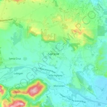
Name: San Jose topographic map, elevation, terrain.

Location: San Jose, Tarlac, Central Luzon, 2318, Philippines (15.43759 120.42397 15.51759 120.50397)

Average elevation: 125 m

Minimum elevation: 64 m

Maximum elevation: 311 m

Gear up for your next adventure:

🧊Insulated Cooler Bags - Keep food fresh for day trips to remote geographic sites
🥾Hiking Shoes - Lightweight hiking shoes for day hikes
🦶Orthotic Hiking Insoles - Extra arch support for long-distance topographic treks
🧴SPF 50+ Bulk Sunscreen - Maximum protection for long-term outdoor exposure
🔦Headlamps - Hands-free lighting for hiking

As an Amazon Associate, this site earns from qualifying purchases at no extra cost to you.