
Murieta topographic map
Interactive map
Click on the map to display elevation.
About this map
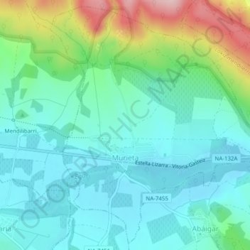
Name: Murieta topographic map, elevation, terrain.
Location: Murieta, Navarre, Spain (42.64656 -2.16589 42.67331 -2.12754)
Average elevation: 515 m
Minimum elevation: 457 m
Maximum elevation: 688 m