
Teiguín topographic map
Interactive map
Click on the map to display elevation.
About this map
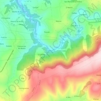
Name: Teiguín topographic map, elevation, terrain.
Location: Teiguín, Pascais, Samos, Sarria, Lugo, Galicia, 27620, España (42.70436 -7.36138 42.74436 -7.32138)
Average elevation: 653 m
Minimum elevation: 491 m
Maximum elevation: 870 m
Other topographic maps
Click on a map to view its topography, its elevation and its terrain.