
Vecht topographic map
Interactive map
Click on the map to display elevation.
About this map
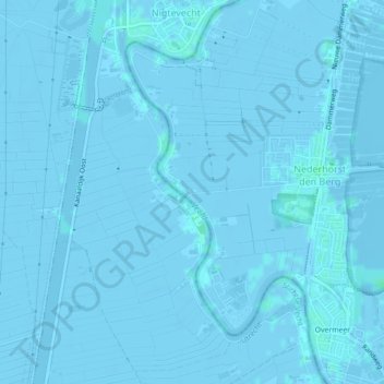
Name: Vecht topographic map, elevation, terrain.
Location: Vecht, Wijdemeren, Noord-Holland, Nederland, 1393PC, Nederland (52.25262 5.02288 52.27272 5.03882)
Average elevation: -1 m
Minimum elevation: -6 m
Maximum elevation: 3 m
Other topographic maps
Click on a map to view its topography, its elevation and its terrain.
Horstermeer
Nederland > Noord-Holland > Wijdemeren > Horstermeer
Horstermeer, Wijdemeren, Noord-Holland, Nederland, 1394, Nederland
Average elevation: -1 m