
Rofels topographic map
Interactive map
Click on the map to display elevation.
About this map
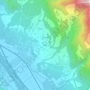
Name: Rofels topographic map, elevation, terrain.
Location: Rofels, Landquart, Graubünden, 7307, Zwitserland (46.98983 9.52475 47.02983 9.56475)
Average elevation: 753 m
Minimum elevation: 494 m
Maximum elevation: 1,924 m