
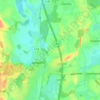
Brunskrug topographic map
Interactive map
Click on the map to display elevation.
About this map
Name: Brunskrug topographic map, elevation, terrain.
Average elevation: 18 m
Minimum elevation: 3 m
Maximum elevation: 42 m
Other topographic maps
Click on a map to view its topography, its elevation and its terrain.
Lensahnerhof
Deutschland > Schleswig-Holstein > Ostholstein > Lensahn
Lensahnerhof, Lensahn, Ostholstein, Schleswig-Holstein, 23738, Deutschland
Average elevation: 40 m
Sipsdorf
Deutschland > Schleswig-Holstein > Ostholstein > Lensahn > Sipsdorf
Sipsdorf, Lensahn, Ostholstein, Schleswig-Holstein, 23738, Deutschland
Average elevation: 14 m