
Little River topographic map
Interactive map
Click on the map to display elevation.
About this map
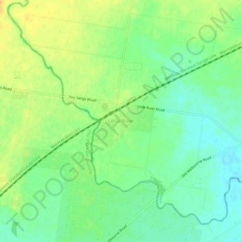
Name: Little River topographic map, elevation, terrain.
Location: Little River, City of Wyndham, Victoria, 3211, Australia (-37.98393 144.48099 -37.94393 144.52099)
Average elevation: 30 m
Minimum elevation: 15 m
Maximum elevation: 48 m
Other topographic maps
Click on a map to view its topography, its elevation and its terrain.
Flinders Peak
Australia > Victoria > Little River
Flinders Peak, Little River, City of Greater Geelong, Victoria, Australia
Average elevation: 137 m
Little River
Australia > Victoria > Little River
Little River, City of Greater Geelong, Victoria, Australia
Average elevation: 67 m
Wurdi Youyang Bushland Reserve
Australia > Victoria > Little River
Wurdi Youyang Bushland Reserve, Ford Australia Proving Ground, Little River, Victoria, 3211, Australia
Average elevation: 159 m