
صدر ٹاؤن topographic map
Interactive map
Click on the map to display elevation.
About this map
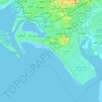
Name: صدر ٹاؤن topographic map, elevation, terrain.
Location: صدر ٹاؤن, ضلع کراچی جنوبی, Karachi, Sind, Pakistan (24.72351 66.98739 24.87276 67.11269)
Average elevation: 4 m
Minimum elevation: -5 m
Maximum elevation: 41 m
Other topographic maps
Click on a map to view its topography, its elevation and its terrain.