
Belle Valley topographic map
Interactive map
Click on the map to display elevation.
About this map
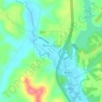
Name: Belle Valley topographic map, elevation, terrain.
Location: Belle Valley, Noble County, Ohio, 43717, United States (39.78380 -81.56246 39.79447 -81.54710)
Average elevation: 251 m
Minimum elevation: 221 m
Maximum elevation: 321 m