Geolocate

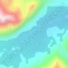
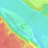
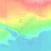
Inuvik topographic map

Click on the map to display elevation.

About this map
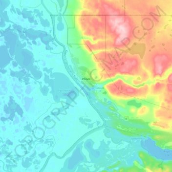
Name: Inuvik topographic map, elevation, terrain.

Location: Inuvik, Gwich'in Settlement Area, Northwest Territories, Canada (68.29069 -133.79649 68.41662 -133.38356)

Average elevation: 39 m

Minimum elevation: -5 m

Maximum elevation: 173 m

Other topographic maps

Click on a map to view its topography, its elevation and its terrain.
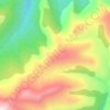
Mackenzie Mountains

Canada > Northwest Territories

Average elevation: 1,213 m

North Nahanni River

Canada > Northwest Territories

Average elevation: 1,449 m

Inuvik

Canada > Northwest Territories

Average elevation: 159 m

Peel River

Canada > Northwest Territories

Average elevation: 45 m

Grace Lake

Canada > Northwest Territories > Yellowknife

Average elevation: 183 m

Déline

Canada > Northwest Territories > Sahtu Region

Average elevation: 193 m

Wrigley

Canada > Northwest Territories > Dehcho Region

Average elevation: 159 m

Yellowknife

Canada > Northwest Territories > Yellowknife

Average elevation: 182 m

Gear up for your next adventure:

🧢Outdoor Sun Hats - Sun protection hats for hiking
🪑Portable Backpacking Chairs - A comfortable seat for studying maps at the end of the day
📚Map Reading & Navigation Guides - Master the art of interpreting topographic contours and symbols
👟Lightweight Trail Runners - Agile footwear for fast movement over rugged Australian terrain
🔋Rechargeable Batteries - Eco-friendly power for high-drain GPS units and flashlights

As an Amazon Associate, this site earns from qualifying purchases at no extra cost to you.