Geolocate

Milton topographic map

Click on the map to display elevation.

About this map

Name: Milton topographic map, elevation, terrain.

Location: Milton, Repton CP, Twyford, South Derbyshire, Derbyshire, East Midlands, England, DE65 6WA, United Kingdom (52.81587 -1.54677 52.85587 -1.50677)

Average elevation: 64 m

Minimum elevation: 36 m

Maximum elevation: 119 m

Other topographic maps

Click on a map to view its topography, its elevation and its terrain.
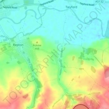
Gear up for your next adventure:

🧦Merino Wool Hiking Socks - Moisture-wicking socks to prevent blisters during long topographic surveys
🧳Outdoor Travel Organizers - Gear organization accessories
Outdoor Coffee Makers - Enjoy quality coffee at the summit of your favorite peak
🔪Multitools - Compact tools for outdoor use
🧤Thermal Hiking Gloves - Keep your hands warm and functional during high-altitude winter treks

As an Amazon Associate, this site earns from qualifying purchases at no extra cost to you.