
Edna topographic map
Click on the map to display elevation.
About this map
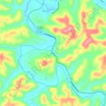
Name: Edna topographic map, elevation, terrain.
Location: Edna, Magoffin County, Kentucky, United States (37.77342 -83.17045 37.81342 -83.13045)
Average elevation: 293 m
Minimum elevation: 240 m
Maximum elevation: 380 m