
Zhetisay District topographic map
Interactive map
Click on the map to display elevation.
About this map
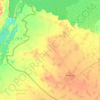
Name: Zhetisay District topographic map, elevation, terrain.
Location: Zhetisay District, Turkistan Region, Kazakhstan (40.68119 67.97012 41.08597 68.52658)
Average elevation: 259 m
Minimum elevation: 242 m
Maximum elevation: 277 m
Other topographic maps
Click on a map to view its topography, its elevation and its terrain.