
Aledo topographic map
Interactive map
Click on the map to display elevation.
About this map
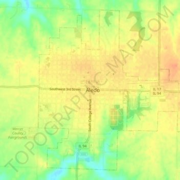
Name: Aledo topographic map, elevation, terrain.
Location: Aledo, Mercer County, Illinois, USA (41.18519 -90.76194 41.21450 -90.71822)
Average elevation: 219 m
Minimum elevation: 195 m
Maximum elevation: 233 m