
Schloss Wildberg topographic map
Interactive map
Click on the map to display elevation.
About this map
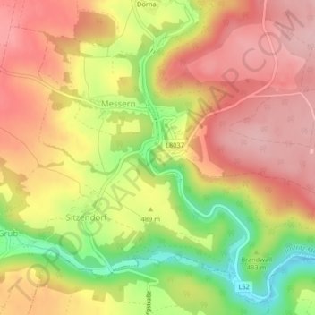
Name: Schloss Wildberg topographic map, elevation, terrain.
Average elevation: 495 m
Minimum elevation: 387 m
Maximum elevation: 567 m
Other topographic maps
Click on a map to view its topography, its elevation and its terrain.
Große Taffa
Österreich > Niederösterreich > Irnfritz-Messern
Große Taffa, Irnfritz-Messern, Bezirk Horn, Niederösterreich, 3754, Österreich
Average elevation: 524 m