
La Brayotte topographic map
Interactive map
Click on the map to display elevation.
About this map
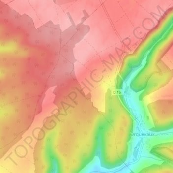
Name: La Brayotte topographic map, elevation, terrain.
Average elevation: 376 m
Minimum elevation: 287 m
Maximum elevation: 417 m
Other topographic maps
Click on a map to view its topography, its elevation and its terrain.
Le Cul du Cerf
France > Grand Est > Haute-Marne > Orquevaux
Le Cul du Cerf, Orquevaux, Chaumont, Haute-Marne, Grand Est, France métropolitaine, 52700, France
Average elevation: 395 m