
Carreto topographic map
Interactive map
Click on the map to display elevation.
About this map
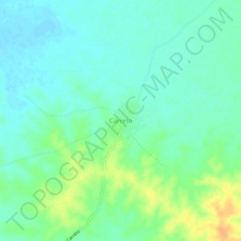
Name: Carreto topographic map, elevation, terrain.
Location: Carreto, Magdalena, Colombia (10.23547 -74.60452 10.27547 -74.56452)
Average elevation: 39 m
Minimum elevation: 28 m
Maximum elevation: 62 m