
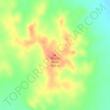
Mount Keith topographic map
Interactive map
Click on the map to display elevation.
About this map
Name: Mount Keith topographic map, elevation, terrain.
Average elevation: 572 m
Minimum elevation: 547 m
Maximum elevation: 595 m
Other topographic maps
Click on a map to view its topography, its elevation and its terrain.
Wiluna
Australia > Western Australia > Wiluna
Wiluna, Western Australia, Australia
Average elevation: 520 m