
West Bradenton topographic map
Interactive map
Click on the map to display elevation.
About this map
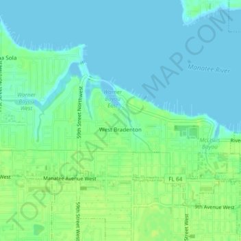
Name: West Bradenton topographic map, elevation, terrain.
Location: West Bradenton, Manatee County, Florida, United States (27.49575 -82.63246 27.51166 -82.59565)
Average elevation: 6 m
Minimum elevation: -1 m
Maximum elevation: 13 m