
Strawberry Plains Fortification topographic map
Interactive map
Click on the map to display elevation.
About this map
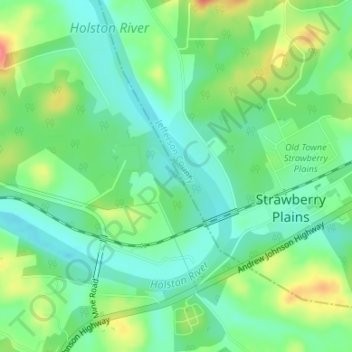
Name: Strawberry Plains Fortification topographic map, elevation, terrain.
Average elevation: 276 m
Minimum elevation: 253 m
Maximum elevation: 320 m