
Thank you for supporting this site ❤️
Make a donation
Make a donation
Gear up for your next adventure:
As an Amazon Associate, this site earns from qualifying purchases at no extra cost to you.
Ecoparque topographic map
Click on the map to display elevation.
Thank you for supporting this site ❤️
Make a donation
Make a donation
Gear up for your next adventure:
As an Amazon Associate, this site earns from qualifying purchases at no extra cost to you.
About this map
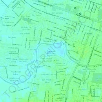
Name: Ecoparque topographic map, elevation, terrain.
Location: Ecoparque, Salamanca, Guanajuato, Mexico (20.56677 -101.21099 20.57031 -101.20340)
Average elevation: 1,714 m
Minimum elevation: 1,708 m
Maximum elevation: 1,718 m
Thank you for supporting this site ❤️
Make a donation
Make a donation
Gear up for your next adventure:
As an Amazon Associate, this site earns from qualifying purchases at no extra cost to you.