
ランシット topographic map
Interactive map
Click on the map to display elevation.
About this map
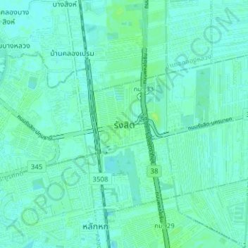
Name: ランシット topographic map, elevation, terrain.
Location: ランシット, อำเภอธัญบุรี, パトゥムターニー県, タイ王国 (13.96579 100.60145 14.00980 100.66405)
Average elevation: 4 m
Minimum elevation: 1 m
Maximum elevation: 11 m