
Gagok-ri topographic map
Interactive map
Click on the map to display elevation.
About this map
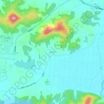
Name: Gagok-ri topographic map, elevation, terrain.
Location: Gagok-ri, Andong-si, North Gyeongsang, 36760, South Korea (36.55059 128.50661 36.59059 128.54661)
Average elevation: 110 m
Minimum elevation: 62 m
Maximum elevation: 309 m