
Madrigueras topographic map
Interactive map
Click on the map to display elevation.
About this map
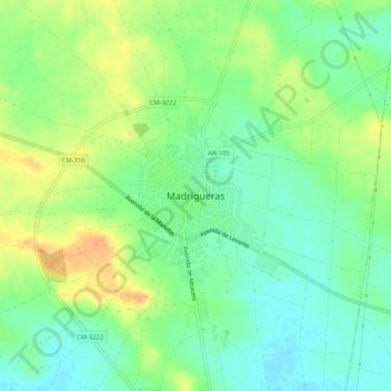
Name: Madrigueras topographic map, elevation, terrain.
Location: Madrigueras, Albacete, Castilla-La Mancha, 02230, España (39.21710 -1.82012 39.25710 -1.78012)
Average elevation: 693 m
Minimum elevation: 677 m
Maximum elevation: 715 m