
会师镇 topographic map
Interactive map
Click on the map to display elevation.
About this map
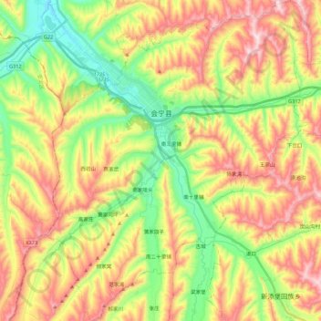
Name: 会师镇 topographic map, elevation, terrain.
Location: 会师镇, 会宁县, 白银市, 甘肃省, 中国 (35.57531 104.97933 35.75033 105.15547)
Average elevation: 1,890 m
Minimum elevation: 1,670 m
Maximum elevation: 2,155 m
Other topographic maps
Click on a map to view its topography, its elevation and its terrain.