
Swineshead topographic map
Interactive map
Click on the map to display elevation.
About this map
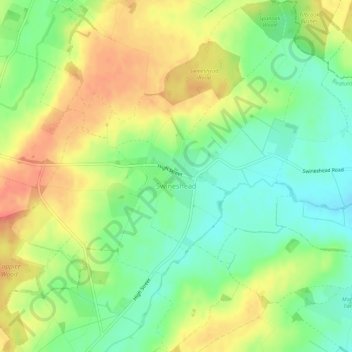
Name: Swineshead topographic map, elevation, terrain.
Location: Swineshead, Bedford, England, United Kingdom (52.26326 -0.47826 52.29668 -0.42958)
Average elevation: 60 m
Minimum elevation: 36 m
Maximum elevation: 86 m
Other topographic maps
Click on a map to view its topography, its elevation and its terrain.
Harrold
United Kingdom > England > Bedford
Harrold, Bedford, England, MK43 7DA, United Kingdom
Average elevation: 66 m