
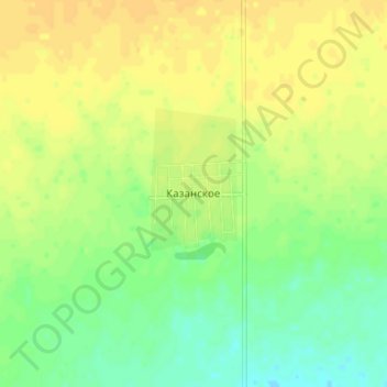
Казанское topographic map
Interactive map
Click on the map to display elevation.
About this map
Name: Казанское topographic map, elevation, terrain.
Average elevation: 110 m
Minimum elevation: 97 m
Maximum elevation: 119 m
Other topographic maps
Click on a map to view its topography, its elevation and its terrain.
Талшик
Казахстан > Северо-Казахстанская область > Акжарский район
Талшик, Акжарский район, Северо-Казахстанская область, 150200, Казахстан
Average elevation: 78 m