
Kirat Chuli (Tent Peak) topographic map
Interactive map
Click on the map to display elevation.
About this map
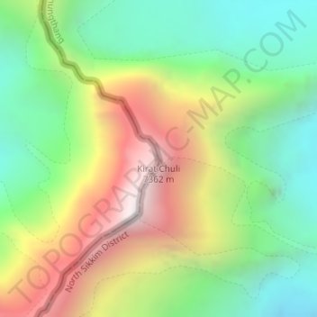
Name: Kirat Chuli (Tent Peak) topographic map, elevation, terrain.
Average elevation: 6,320 m
Minimum elevation: 5,625 m
Maximum elevation: 7,345 m