
Hotham Village topographic map
Interactive map
Click on the map to display elevation.
About this map
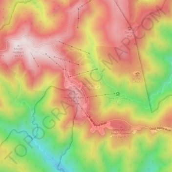
Name: Hotham Village topographic map, elevation, terrain.
Average elevation: 1,585 m
Minimum elevation: 1,197 m
Maximum elevation: 1,863 m
Mount Hotham Alpine Resort trails, hiking, mountain biking, running and outdoor activities