
Shadforth topographic map
Interactive map
Click on the map to display elevation.
About this map
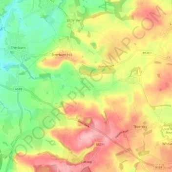
Name: Shadforth topographic map, elevation, terrain.
Location: Shadforth, County Durham, North East, England, United Kingdom (54.74697 -1.49985 54.77969 -1.40327)
Average elevation: 126 m
Minimum elevation: 60 m
Maximum elevation: 191 m
Other topographic maps
Click on a map to view its topography, its elevation and its terrain.