
Black Springs topographic map
Interactive map
Click on the map to display elevation.
About this map
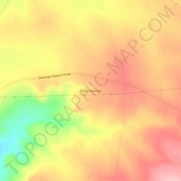
Name: Black Springs topographic map, elevation, terrain.
Average elevation: 587 m
Minimum elevation: 483 m
Maximum elevation: 648 m
Other topographic maps
Click on a map to view its topography, its elevation and its terrain.
Delungra
Australia > New South Wales > Delungra
Delungra, Inverell Shire Council, New South Wales, Australia
Average elevation: 589 m