
Green Forest topographic map
Interactive map
Click on the map to display elevation.
About this map
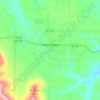
Name: Green Forest topographic map, elevation, terrain.
Location: Green Forest, Carroll County, Arkansas, 72638, United States (36.32230 -93.45984 36.34298 -93.39578)
Average elevation: 412 m
Minimum elevation: 357 m
Maximum elevation: 540 m