
Falling Water topographic map
Interactive map
Click on the map to display elevation.
About this map
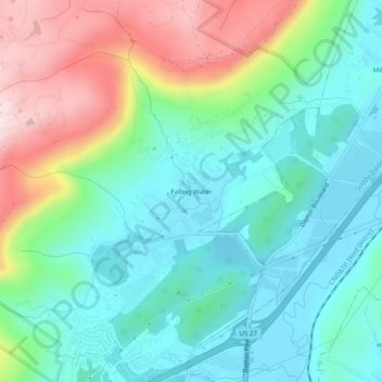
Name: Falling Water topographic map, elevation, terrain.
Average elevation: 323 m
Minimum elevation: 198 m
Maximum elevation: 606 m
Other topographic maps
Click on a map to view its topography, its elevation and its terrain.
Bakewell
États-Unis d'Amérique > Tennessee > Hamilton County > Bakewell
Bakewell, Hamilton County, Tennessee, 37304, États-Unis d'Amérique
Average elevation: 269 m