
Laguna Pumacocha topographic map
Interactive map
Click on the map to display elevation.
About this map
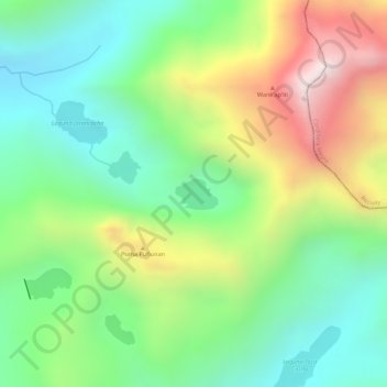
Name: Laguna Pumacocha topographic map, elevation, terrain.
Location: Laguna Pumacocha, Aija, Áncash, Perú (-9.79575 -77.53163 -9.79356 -77.52854)
Average elevation: 4,536 m
Minimum elevation: 4,269 m
Maximum elevation: 4,943 m
Other topographic maps
Click on a map to view its topography, its elevation and its terrain.