
Municipio Esteller topographic map
Interactive map
Click on the map to display elevation.
About this map
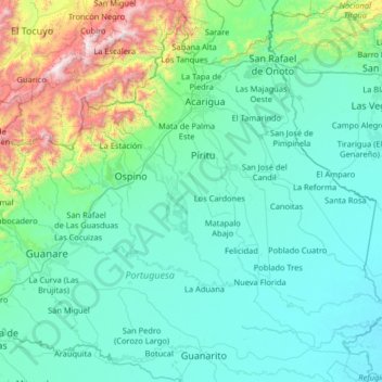
Name: Municipio Esteller topographic map, elevation, terrain.
Location: Municipio Esteller, Portuguesa, Venezuela (8.61000 -69.89000 9.89000 -68.61000)
Average elevation: 326 m
Minimum elevation: 63 m
Maximum elevation: 2,209 m