
Rio Japurá topographic map
Interactive map
Click on the map to display elevation.
About this map
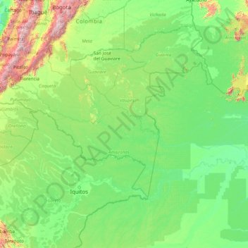
Name: Rio Japurá topographic map, elevation, terrain.
Location: Rio Japurá, Mirití-Paraná, Amazonas, Colômbia (-3.16320 -76.64066 1.72854 -64.74929)
Average elevation: 283 m
Minimum elevation: 5 m
Maximum elevation: 4,890 m
Other topographic maps
Click on a map to view its topography, its elevation and its terrain.