
Unterlüß topographic map
Interactive map
Click on the map to display elevation.
About this map
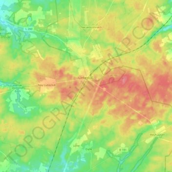
Name: Unterlüß topographic map, elevation, terrain.
Average elevation: 99 m
Minimum elevation: 66 m
Maximum elevation: 137 m
Other topographic maps
Click on a map to view its topography, its elevation and its terrain.
Hermannsburg
Deutschland > Niedersachsen > Landkreis Celle > Südheide
Hermannsburg, Südheide, Landkreis Celle, Niedersachsen, 29320, Deutschland
Average elevation: 71 m
Baven
Deutschland > Niedersachsen > Landkreis Celle > Südheide
Baven, Südheide, Landkreis Celle, Niedersachsen, 29320, Deutschland
Average elevation: 65 m
Lutterloh
Deutschland > Niedersachsen > Landkreis Celle > Südheide > Lutterloh
Lutterloh, Südheide, Landkreis Celle, Niedersachsen, Deutschland
Average elevation: 94 m
Hof Severloh
Deutschland > Niedersachsen > Landkreis Celle > Südheide > Hermannsburg
Hof Severloh, Hermannsburg, Südheide, Landkreis Celle, Niedersachsen, Deutschland
Average elevation: 62 m