
Békéscsaba topographic map
Interactive map
Click on the map to display elevation.
About this map
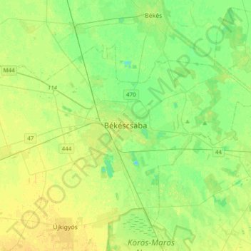
Name: Békéscsaba topographic map, elevation, terrain.
Average elevation: 87 m
Minimum elevation: 78 m
Maximum elevation: 96 m
Other topographic maps
Click on a map to view its topography, its elevation and its terrain.
Sarkad
Hongrie > Békés megye > Sarkad
Sarkad, Sarkadi járás, Békés megye, Grande Plaine méridionale, Grande plaine et nord, Hongrie
Average elevation: 87 m
Szarvasi járás
Szarvasi járás, Békés megye, Grande Plaine méridionale, Grande plaine et nord, Hongrie
Average elevation: 84 m