
Woram-ri topographic map
Interactive map
Click on the map to display elevation.
About this map
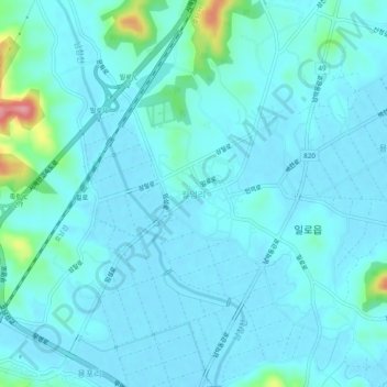
Name: Woram-ri topographic map, elevation, terrain.
Location: Woram-ri, Muan-gun, South Jeolla, 58574, South Korea (34.82801 126.47135 34.86801 126.51135)
Average elevation: 15 m
Minimum elevation: -1 m
Maximum elevation: 124 m