
El Bayadh topographic map
Interactive map
Click on the map to display elevation.
About this map
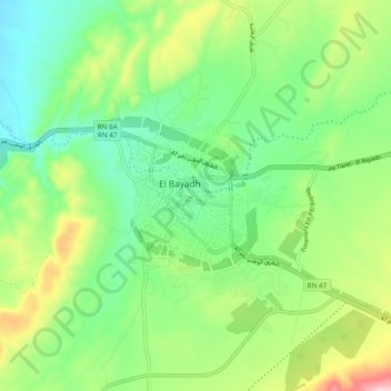
Name: El Bayadh topographic map, elevation, terrain.
Location: El Bayadh, El Bayadh District, El Bayadh, 32012, Algeria (33.64178 0.98223 33.72178 1.06223)
Average elevation: 1,356 m
Minimum elevation: 1,247 m
Maximum elevation: 1,576 m