
Zangilan topographic map
Interactive map
Click on the map to display elevation.
About this map
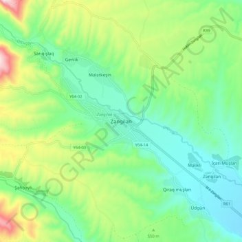
Name: Zangilan topographic map, elevation, terrain.
Location: Zangilan, Kashatagh, République d'Artsakh, Azerbaïdjan (39.04637 46.61645 39.12637 46.69645)
Average elevation: 524 m
Minimum elevation: 350 m
Maximum elevation: 920 m