
Tân Xã topographic map
Interactive map
Click on the map to display elevation.
About this map
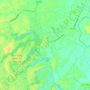
Name: Tân Xã topographic map, elevation, terrain.
Location: Tân Xã, Huyện Thạch Thất, Hanoï, Viêt Nam (21.00068 105.52215 21.03465 105.56856)
Average elevation: 13 m
Minimum elevation: -1 m
Maximum elevation: 26 m