Geolocate

Vogue topographic map

Click on the map to display elevation.

About this map

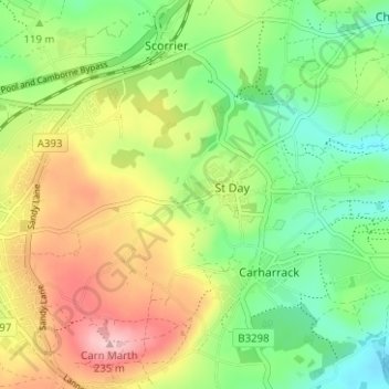
Name: Vogue topographic map, elevation, terrain.

Location: Vogue, St. Day, Cornwall, England, TR16 5NH, United Kingdom (50.21860 -5.21096 50.25860 -5.17096)

Average elevation: 122 m

Minimum elevation: 43 m

Maximum elevation: 234 m

Gear up for your next adventure:

🕶️Polarized Sunglasses - UV protection sunglasses for outdoors
🔋Solar Power Banks - Charge your phone and GPS using the sun while deep in the bush
Altimeter Watches - Watches with altitude tracking
🦶Orthotic Hiking Insoles - Extra arch support for long-distance topographic treks
🧭Military Style Lensatic Compass - Durable sighting compasses for advanced land navigation and surveying

As an Amazon Associate, this site earns from qualifying purchases at no extra cost to you.