
San Pedro de Cachora topographic map
Interactive map
Click on the map to display elevation.
About this map
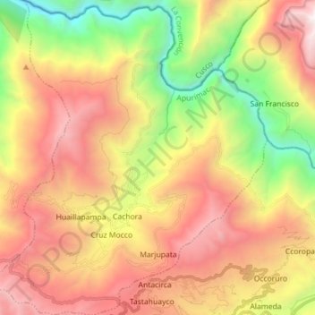
Name: San Pedro de Cachora topographic map, elevation, terrain.
Location: San Pedro de Cachora, Abancay, Apurímac, Pérou (-13.55600 -72.87732 -13.41864 -72.75032)
Average elevation: 3,092 m
Minimum elevation: 1,459 m
Maximum elevation: 4,737 m