
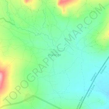
Waranga topographic map
Interactive map
Click on the map to display elevation.
About this map
Name: Waranga topographic map, elevation, terrain.
Location: Waranga, Hanang, Manyara Region, Northern Zone, Tanzania (-4.78409 35.48773 -4.74409 35.52773)
Average elevation: 1,448 m
Minimum elevation: 1,400 m
Maximum elevation: 1,555 m