
Puthuppally topographic map
Interactive map
Click on the map to display elevation.
About this map
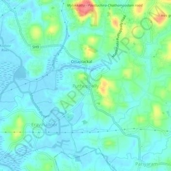
Name: Puthuppally topographic map, elevation, terrain.
Location: Puthuppally, Kottayam, Kottayam District, Kerala, 686011, India (9.53935 76.55153 9.57935 76.59153)
Average elevation: 17 m
Minimum elevation: -3 m
Maximum elevation: 79 m
Other topographic maps
Click on a map to view its topography, its elevation and its terrain.