
Little Harbour topographic map
Interactive map
Click on the map to display elevation.
About this map
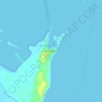
Name: Little Harbour topographic map, elevation, terrain.
Location: Little Harbour, South Abaco, The Bahamas (26.30422 -77.02025 26.34422 -76.98025)
Average elevation: 1 m
Minimum elevation: -1 m
Maximum elevation: 29 m
Other topographic maps
Click on a map to view its topography, its elevation and its terrain.
Boating Harbor
Boating Harbor, South Abaco, The Bahamas
Average elevation: 1 m