
Alice topographic map
Interactive map
Click on the map to display elevation.
About this map
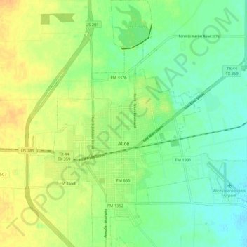
Name: Alice topographic map, elevation, terrain.
Location: Alice, Jim Wells County, Texas, United States (27.71340 -98.10915 27.80590 -98.01716)
Average elevation: 64 m
Minimum elevation: 50 m
Maximum elevation: 79 m