
El Agustino topographic map
Interactive map
Click on the map to display elevation.
About this map
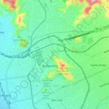
Name: El Agustino topographic map, elevation, terrain.
Location: El Agustino, Provincia de Lima, Lima, Perú (-12.06308 -77.01226 -12.02113 -76.93495)
Average elevation: 228 m
Minimum elevation: 122 m
Maximum elevation: 613 m
Other topographic maps
Click on a map to view its topography, its elevation and its terrain.